In this post we explore some historical aspects of the landscape to the west of the Woodbury Salterton.
 |
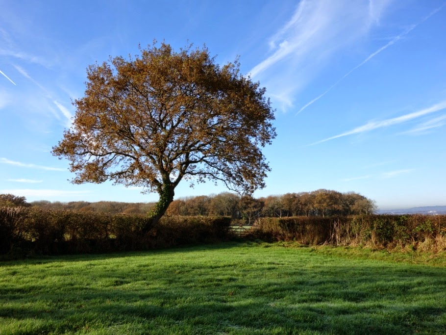
| Crosshills, at the corner of Higher Road and Lower Road. |
Taking the right turn out of the village towards Exeter, along Lower Road at the Crosshills corner, it is perhaps difficult to realise that within living memory the preferred route was instead straight ahead up Higher Road. This was possibly because it was less prone to flooding, but Lower Road eventually became more favoured and was tarmacked first. Higher Road, on the other hand - like other local minor lanes - was still formed of cracked stone up until the early 1960s. Until the late 1970s, Lower Road was part of a bus route between Exeter and Budleigh.
Navigating the narrow length of Lower Road, it is also easy to miss that historically this is one of the most interesting areas of our surrounding landscape ...
Navigating the narrow length of Lower Road, it is also easy to miss that historically this is one of the most interesting areas of our surrounding landscape ...
On the north side of Lower Road, as far as Heathfield Cross (the junction with Greendale Lane), the fields are long and narrow. This pattern is clearly visible on the modern two-and-a-half inch map, and is thought to be a relic of the medieval communal open-field system, still evident in the landscape. It is very little altered since the time of the Tithe Map of 1839, and is presumed to date back to the agricultural land enclosures of the mid-18th century.
The field names, too, are interesting, and indicate the nature of this land in the past. 'Heathfield' was an area of poor land or 'waste', open-country for common use, until it was enclosed: the nearby field-name 'Lousy Five Acres' perhaps suggests what quality of farmland this was!
The field names, too, are interesting, and indicate the nature of this land in the past. 'Heathfield' was an area of poor land or 'waste', open-country for common use, until it was enclosed: the nearby field-name 'Lousy Five Acres' perhaps suggests what quality of farmland this was!
Also in this area, opposite Bidgoods in Lower Road, is the last remaining old working orchard in the parish, whose produce is still used in commercial cider-making.
It feels appropriate to be covering this at apple wassailing time - Woodbury Community Orchard has its wassail this Friday evening 16th January at 7pm, to which all are invited. See p10 of the current issue of Woodbury News for more information.
It feels appropriate to be covering this at apple wassailing time - Woodbury Community Orchard has its wassail this Friday evening 16th January at 7pm, to which all are invited. See p10 of the current issue of Woodbury News for more information.
~ ~ ~
We have been very involved in compiling the soon-to-be-published Historical Environment Action Plan for Woodbury Parish (in conjunction with the East Devon Area of Outstanding Natural Beauty and English Heritage) - hence the delay in producing this post, and also its focus on landscape history rather than on the natural world. The photographs were taken in October and November 2014.
The oral history information came from conversations in October between Sally Elliott and two people with deep connections with the village. Several generations of the family of George Wilson (formerly of Bidgoods) farmed in the Heathfield area for over 200 years. Jeff Dagworthy's family has been in the village even longer - since the 16th century - and he still lives at Browns Farm, which the family has occupied since the late 17th century. We are grateful to both of them for their memories and information.
Finding out old field names is a bit of a labour of love, but not too difficult. The information comes from the digitised Tithe Map of 1839 which can be accessed by clicking on the contents list on the Woodbury Village website. On the map the fields are numbered, and their names are listed in number order in the Tithe Apportionment Book, which is also on the website.
For more general information about landscape history, we draw on renowned Devonian historian W G Hoskins' The Making of the English Landscape, Francis Pryor's more recent book, The Making of the British Landscape, and Victor Bonham-Carter's The English Village.
~ ~ ~
"Ye'll tak' the high road ... "
Taking the quieter 'Higher Road' first, beyond Crosshills it begins as a sunken lane leading up to Downhams, which is still a working farm.
Above the buildings of Downham's Farm, on both sides of Higher Road many of the old fields have been amalgamated. Here two on the south side, previously known as 'Little Two Acres' and 'Higher Two Acres', were once village allotments, but are now part of a much larger field. Within living memory, the village football pitch was on the more level of these - until 1967 when it was moved to the Glebe Field instead.
From the highest points of this lane there are long views across Exeter and towards the Raddon Hills to the north of the city. Several of the fields on this side include the name 'Bowhay' (pronounced Boohy) which is thought to refer to a person's name.
One historical curiosity - which is almost impossible to spot! - is the former entrance to what was once a very narrow lane leading north from Lower Road. 'Chilfie Lane' (as was) ran alongside the property now known as Meadow Rise, accessing fields further down the slope away from the lane. In 1840, its name was recorded as 'Chelfy' or 'Chilpy', and earlier still, in auction details of 1732, it was written as 'Shelfhay'. 'Hay' is a word for 'field', and thus this name might mean 'Shelf Field' and may refer to its shape or topography - although the meaning is almost as lost as the lane itself, buried within the hedgerow.
Further on, opposite Bidgoods, are two old orchards, known jointly as 'Perchy Orchard'. It is now the last working orchard in the parish and the crop is used commercially by Green Valley Cider at Darts Farm, to create Bidgood Orchard Cyder. The crop can be very variable, and trees typically rest alternate years. Last year's crop was only 3 tons compared with 15 tons the year before. There are several old varieties of apple here - Thomas Putt (a locally developed variety), Michelin, Coate Jersey and Debonet.
Cider-production used to be a very significant part of the local economy, as cider was a crucial alternative to water for drinking, and cider vinegar was widely used for preserving foods. Every farm had an orchard large enough to at least supply its own needs. In coastal areas, orchards were particularly common to supply sea-going ships, as crews who had access to cider were less likely to fall victim to scurvy.
East Devon was rich in orchards until decline set in around 100 years ago - partly through social changes and partly through government policy. Within Devon as a whole, between 1905 and 1979 more than 6000 acres of orchards were lost. This loss can clearly be seen by comparing the modern two-and-a-half-inch map with the Tithe Map analysis of orchards existing in 1839, on the Woodbury Village website, or other historic maps available online, such as on the National Library of Scotland website.
(Information from Orchard Network and East Devon Council website)
George Wilson remembers the cob barn in Lower Road opposite Little Paddocks as having been a threshing barn in his grandfather's time, and it was used as such until steam threshing was introduced in the mid- to late-19th century, when the barn became redundant. George's grandfather used it as a cider-barrel store and sold cider to local pubs - until about 1915, when it became a hay-store until the Wilson family gave up the farm.
"Wassail the old apple tree!"
 |
| Higher Road, heading west, begins as a sunken lane. |
 |
| The horizontal stems of out-grown hedge trees show that this was once a laid hedge on a Devon bank. |
 |
| More out-grown hedge trees. |
 |
| Looking back down Higher Road towards the village from the entrance to Downham's Farm buildings. |
 |
| Opposite the farm entrance, this hedge has been retained but with some hedge trees growing to full height at the back. |
Above the buildings of Downham's Farm, on both sides of Higher Road many of the old fields have been amalgamated. Here two on the south side, previously known as 'Little Two Acres' and 'Higher Two Acres', were once village allotments, but are now part of a much larger field. Within living memory, the village football pitch was on the more level of these - until 1967 when it was moved to the Glebe Field instead.
 |
| This fairly level field on the south side of Higher Road was once the village allotments and later the football pitch. |
From the highest points of this lane there are long views across Exeter and towards the Raddon Hills to the north of the city. Several of the fields on this side include the name 'Bowhay' (pronounced Boohy) which is thought to refer to a person's name.
 |
| From fields on the north side of Higher Road there are extensive views across Exeter towards the Raddon Hills. |
 |
| The lane leading to Higher Pilehays Farm, at the right-angle bend in Higher Road. |
At the junction with the lane to Higher Pilehays Farm, the field to the west was known as 'Lousy Five Acres'. In the past one of the fields here always gave trouble to the Dagworthys who farmed it - causing the cows to produce tainted milk. In this area some of the fields are smaller and more irregularly-shaped.
 |
| Hard to show in a photograph, this field on the west of Higher Road is in fact triangular. |
 |
| View west to the Haldon Hills |
 |
| Lane from Higher Pilehays looking north towards Heathfield Park. |
 |
| 'Little Park': triangular field opposite Heathfield Park. |
The land around Heathfield Cross was reclaimed and enclosed from former 'waste' in the mid-18th century. That it continues to be marshy, however, is evident in the presence of needle-rush in several fields here, which would take over the land if un-checked.
 |
| Looking towards Heathfield Cross from Heathfield Park. |
 |
| Heathfield Cross: gorse in the field boundary (above) and rough ground (below) are here perhaps relics of the former 'waste'.  |
 |
| Heathfield Cross and Greendale Lane: one of very few remaining ponds glimpsed through the hedge. |
 |
| View north from Heathfield Cross along Greendale Lane (above) and east along Lower Road (below): the Scots pines were planted as boundary markers by an owner of Greendale House in the 19th century.  |
" ... and I'll tak' the low road ..."
All along the north side of Lower Road is a series of long narrow fields running down the slope towards Grindle Brook. Since the time of the Tithe Map of 1839, very few hedges have been taken out, so the landscape here is a relatively rare survivor of an agricultural landscape which has been little altered for several hundred years.
The common-field system originated in the Anglo-Saxon period (from about the 9th century) and in Medieval times was widely established throughout England. Individuals farmed several strips scattered throughout large, common, open fields, to ensure a fair distribution of qualities of land. The size and shape of the strips was determined by the capabilities of heavy, ox-drawn ploughs. Typically, each strip was twenty-two yards wide and two-hundred-and-twenty yards long, which was the distance an ox-team could plough without a rest (a furrow-long, or 'furlong'). This amounted to one acre in all, which was the area of land ploughable by oxen in a single day.
This form of farming started to be abandoned from the 15th century onwards. Over time, individuals' strips often became amalgamated - usually by agreement. By the period of the land enclosures - in this case in the mid-18th century - tenure within the common-field here was perhaps already divided into parcels. The shape of the present fields suggests that they were based on the original strips. In the early 19th century, these fields were owned by a variety of individuals, which perhaps reflects historic tenure, and is possibly also why they have not been consolidated into larger fields to the same extent as elsewhere.
Field names at the time of the Tithe Map are also suggestive - 'Two Acres' and 'Three Acres', adjacent to Heathfield House, for example, perhaps refer to the standard acre of earlier strips.
Some of these field-names include 'Park', which was usually an indicator of good quality land. 'Pit Field' or 'Small Moor', on the other hand, indicate poorer quality.
 |
| Above and below: three of the long narrow fields along the north side of Lower Road.   |
One historical curiosity - which is almost impossible to spot! - is the former entrance to what was once a very narrow lane leading north from Lower Road. 'Chilfie Lane' (as was) ran alongside the property now known as Meadow Rise, accessing fields further down the slope away from the lane. In 1840, its name was recorded as 'Chelfy' or 'Chilpy', and earlier still, in auction details of 1732, it was written as 'Shelfhay'. 'Hay' is a word for 'field', and thus this name might mean 'Shelf Field' and may refer to its shape or topography - although the meaning is almost as lost as the lane itself, buried within the hedgerow.
 |
| Easy to miss! The 'entrance' to 'Chifie Lane' in the hedge on the north side of Lower Road next to Meadow Rise. |
Further on, opposite Bidgoods, are two old orchards, known jointly as 'Perchy Orchard'. It is now the last working orchard in the parish and the crop is used commercially by Green Valley Cider at Darts Farm, to create Bidgood Orchard Cyder. The crop can be very variable, and trees typically rest alternate years. Last year's crop was only 3 tons compared with 15 tons the year before. There are several old varieties of apple here - Thomas Putt (a locally developed variety), Michelin, Coate Jersey and Debonet.
 |
| Perchy orchard on the south side of Lower Lane opposite Bidgoods.  |
Cider-production used to be a very significant part of the local economy, as cider was a crucial alternative to water for drinking, and cider vinegar was widely used for preserving foods. Every farm had an orchard large enough to at least supply its own needs. In coastal areas, orchards were particularly common to supply sea-going ships, as crews who had access to cider were less likely to fall victim to scurvy.
East Devon was rich in orchards until decline set in around 100 years ago - partly through social changes and partly through government policy. Within Devon as a whole, between 1905 and 1979 more than 6000 acres of orchards were lost. This loss can clearly be seen by comparing the modern two-and-a-half-inch map with the Tithe Map analysis of orchards existing in 1839, on the Woodbury Village website, or other historic maps available online, such as on the National Library of Scotland website.
(Information from Orchard Network and East Devon Council website)
 |
| Cob barn in Lower Road. |
George Wilson remembers the cob barn in Lower Road opposite Little Paddocks as having been a threshing barn in his grandfather's time, and it was used as such until steam threshing was introduced in the mid- to late-19th century, when the barn became redundant. George's grandfather used it as a cider-barrel store and sold cider to local pubs - until about 1915, when it became a hay-store until the Wilson family gave up the farm.
 |
| The last long field on Lower Road before the corner by Parkhayes Plantation. |
"Wassail the old apple tree!"
 |
| An old orchard tree at Little Paddocks opposite the cob barn. |